


lauzet descente

natsukeru
User
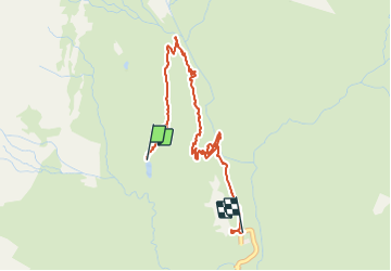

Length
3.9 km

Max alt
2080 m

Uphill gradient
79 m
Km-Effort
6.2 km

Min alt
1633 m

Downhill gradient
460 m
Boucle
No
Creation date :
2021-08-19 05:59:34.319
Updated on :
2021-08-19 07:40:48.368
1h40
Difficulty : Easy

FREE GPS app for hiking
 SityTrail
IGN / Geographical institutes
SityTrail Plus
The world is yours!
About
Trail Walking of 3.9 km to be discovered at Provence-Alpes-Côte d'Azur, Hautes-Alpes, La Chapelle-en-Valgaudémar. This trail is proposed by natsukeru.
Positioning
Country:
France
Region :
Provence-Alpes-Côte d'Azur
Department/Province :
Hautes-Alpes
Municipality :
La Chapelle-en-Valgaudémar
Location:
Unknown
Start:(Dec)
Start:(UTM)
284544 ; 4969405 (32T) N.
Comments